Context: Defence Minister Rajnath Singh stated that Sindh, though geographically outside India, remains an integral part of India’s civilisational heritage.
I. Political & Administrative Framework
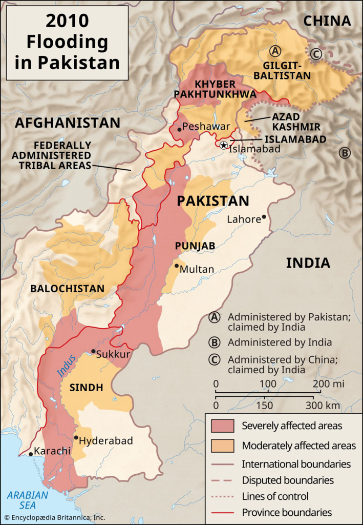
- Location: Southeastern province of Pakistan, bordering Punjab (north), Balochistan (west), the Arabian Sea (south), and the Indian states of Rajasthan and Gujarat (east).
- Capital: Karachi (also the country’s financial hub and largest port).
- Administrative Structure: Divided into 7 Divisions: Karachi, Hyderabad, Sukkur, Larkana, Mirpur Khas, Shaheed Benazirabad, and Banbhore.
- Historical Significance: Known as “Bab-ul-Islam” (Gateway of Islam) in South Asia; home to the ancient Indus Valley Civilization site, Mohenjo-daro.
II. Geographical Features
- Topography: Dominated by the Indus River plain, flanked by the Kirthar Mountains to the west and the Thar Desert to the east.
- Highest Peak: Barugh Hill (approx. 7,056 ft) in the Kirthar Range is the highest point within the province (often overshadowed by the popular Gorakh Hill Station at ~5,688 ft).
- Hydrology:
- Primary River: The Indus River is the province’s lifeline.
- Seasonal Streams: Includes the Hub, Malir, and Lyari rivers (mostly ephemeral).
- Climate Profile:
- Subtropical Desert: Characterized by scorching summers (often exceeding 46°C) and mild winters.
- Rainfall: Scanty and erratic, primarily received during the Southwest Monsoon (July–September).
- Coastal Influence: The coastal belt (Karachi) experiences a humid maritime climate with moderated temperatures.
What is the “Gateway of Islam”?
Sindh is historically termed Bab-ul-Islam because it was the first region in the Indian subcontinent to come under Islamic rule following the conquest by Muhammad bin Qasim in 712 AD. This event marked a pivotal shift in the region’s religious and cultural trajectory.