Ethiopia: Geopolitical and Physical Profile
Political Geography
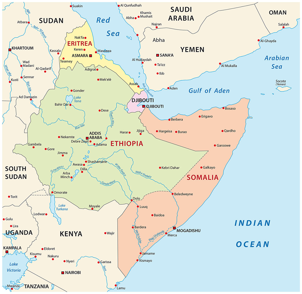
- Regional Location: A landlocked nation situated in the Horn of Africa.
- Maritime Access: Lost direct access to the Red Sea following the secession of Eritrea in 1993.
- Latitudinal Extent: Situated entirely within tropical latitudes.
- Bordering Nations:
- North: Eritrea
- Northeast: Djibouti
- East: Somalia
- South: Kenya
- West: South Sudan and Sudan
Physiographic Features
- Tectonic Setting: The landscape is defined by the East African Rift System (Great Rift Valley) dissecting the country.
Topographical Extremes:
- Highest Point: Mount Ras Dejen (4,550 m).
- Lowest Point: Kobar Sink (Danakil Depression), situated ~116 meters below sea level.
- Drainage System:
- Key Rivers: Blue Nile (Abbay), Tekeze, Awash, Omo, and Shebele.
- Hydro-politics: The Blue Nile originates here (Lake Tana), contributing significantly to the Nile River flow.
About Hayli Gubbi Eruption (2025)
Geographical and Geological Profile
Location: Situated in the Afar Region of Ethiopia.
Classification: A shield volcano, marking the southernmost point of the Erta Ale Range.
Historical Activity: The volcano had no recorded eruptive history in the Holocene era (past 12,000 years) prior to the November 2025 event.
The November 2025 Eruption Event
- Timeline: An explosive eruption commenced on November 23, 2025
- Surveillance: The event was tracked by the Toulouse Volcanic Ash Advisory Centre (VAAC) via satellite imagery.
- Eruption Characteristics:
- Identified as a Sub-plinian eruption (characterized by a high, buoyant eruption column).
- The ash plume ascended to an altitude of 45,000 feet (14,000 m).
- Atmospheric Dispersion: Prevailing winds carried the ash plume across the Arabian Peninsula, affecting airspace over Yemen and Oman.