
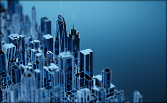
About 3D Reconstruction
- Definition and Meaning: 3D Reconstruction is the process of creating a three-dimensional digital representation of a real-world object, building or geographical area using two-dimensional images, photographs or other spatial data.
- Basic Principle: It involves extracting spatial information, including height, width, depth and geometric structure, from images or sensor data through computational techniques.
- Objective: It helps create realistic digital models of physical structures and landscapes for mapping, measurement, visualisation and spatial analysis.
- Data Sources: 3D reconstruction can be performed using satellite imagery, aerial photographs, drone images, LiDAR data and other remote sensing technologies.
Types and Techniques of 3D Reconstruction
- Monocular Image-Based Reconstruction: It involves generating three-dimensional information using images captured through a single camera or imaging sensor. Computational models estimate the depth and spatial structure of objects from image features.
- Stereo Image-Based Reconstruction: It uses two or more images captured from different positions to estimate the depth of objects through differences in their viewing angles.
- LiDAR-Based Reconstruction: Light Detection and Ranging (LiDAR) uses laser pulses to measure distances and generate detailed three-dimensional representations of buildings, terrain and vegetation.
- Photogrammetry: It involves extracting measurements and spatial information from overlapping photographs to create three-dimensional models of objects and geographical areas.
Process of 3D Reconstruction
- Image Acquisition: Satellite, aerial or drone images of the target area are collected to obtain information about buildings and geographical features.
- Feature Extraction: Computational algorithms identify important features, edges, patterns and corresponding points in the images.
- Depth Estimation: The spatial depth and height of objects are estimated using image geometry, visual information and computational models.
- 3D Model Generation: The extracted spatial information is processed to generate three-dimensional representations of buildings, structures and geographical areas.
- Geospatial Mapping: The reconstructed models are integrated with geographical coordinates to support spatial measurement, mapping and analysis.
Important Outputs of 3D Reconstruction
- 3D Point Cloud: A collection of spatial data points represented through X, Y and Z coordinates, describing the three-dimensional positions of objects and surfaces.
- Digital Elevation Model (DEM): A digital representation of the Earth’s surface elevation, generally depicting the bare ground without buildings and vegetation.
- Digital Surface Model (DSM): Represents the elevation of the Earth’s upper surface, including buildings, vegetation and other above-ground features.
- 3D Mesh Model: A digital representation of physical structures created by connecting spatial points into interconnected geometric surfaces.
Applications of 3D Reconstruction
- Urban Planning: Helps analyse building heights, built-up density, settlement patterns and urban expansion for scientific city planning.
- Disaster Management: Supports flood risk assessment, damage estimation, identification of vulnerable buildings and post-disaster reconstruction.
- Infrastructure Development: Facilitates the planning and monitoring of roads, bridges, buildings and other urban infrastructure.
- Environmental Monitoring: Helps monitor changes in landforms, vegetation cover and human-induced modifications to landscapes.
- Digital Twin Technology: Enables the creation of virtual representations of physical buildings, infrastructure and urban environments for monitoring and simulation.
- Heritage Conservation: Helps create detailed digital models of historical monuments and archaeological structures for documentation and preservation.
Conclusion
3D reconstruction is an important geospatial technology that converts two-dimensional imagery and spatial data into three-dimensional representations of the real world. It has significant applications in smart city development, infrastructure planning, disaster management and sustainable urban governance.
| This Concept Has Been Mentioned In The Article: IN-SPACe Selects Three Firms for 3D Reconstruction of Indian Cities |