
Context
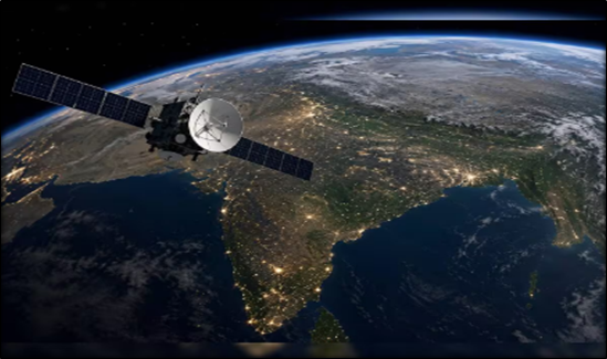
The Indian National Space Promotion and Authorization Centre (IN-SPACe) has selected three Indian space companies to develop High-Resolution Indian Human Settlement Layers (IHSL) across Indian cities.
About High-Resolution Indian Human Settlement Layers (IHSL)
- Objective: IHSL aims to generate accurate and detailed geospatial information about human settlements using satellite-based Earth Observation (EO) data.
- Technology Used: The project will use monocular imagery, which involves extracting spatial information from images captured by a single camera or imaging sensor.
- 3D Reconstruction: It will generate three-dimensional information about buildings and built-up areas using satellite imagery and computational models.
IN-SPACe and Its Role
- Establishment: IN-SPACe was established in June 2020 as an autonomous nodal agency under the Department of Space.
- Objective: It promotes, authorises and supervises the participation of Non-Governmental Entities (NGEs) in space activities.
- Facilitating Private Participation: It provides an enabling environment for private companies to develop space-based applications, technologies and infrastructure.
- Seed Fund Scheme: Under its Seed Fund Scheme for Use Case Demonstration by Non-Government Entities (NGEi), three Indian companies have been selected to develop and demonstrate IHSL.
- Selected Companies: SpacePixxel Technologies Pvt. Ltd., KaleidEO Space Systems Pvt. Ltd. and Azista Industries Pvt. Ltd. will collectively receive ₹1.46 crore in seed funding.
Applications of Satellite-Based 3D Reconstruction
- Urban Planning: Provides detailed information about building distribution, height and built-up density for scientific urban planning.
- Infrastructure Development: Helps identify infrastructure requirements and supports the planning of roads, utilities and public facilities.
- Disaster Risk Assessment: Enables identification of vulnerable settlements and supports disaster preparedness and risk assessment.
- Population Assessment: Detailed settlement information can support population estimation and demographic planning.
- Sustainable Urban Development: Helps monitor urban expansion, land-use patterns and the spatial growth of cities.
| Important CTC from this Article: 3D Reconstruction |
                                      MCQ


Q. Consider the following statements regarding satellite-based Earth Observation and geospatial technology:

1. Monocular imagery involves the use of images captured by a single camera or imaging sensor for extracting spatial information.
2. Synthetic Aperture Radar (SAR) can acquire images of the Earth's surface during cloudy conditions and at night.
3. Earth Observation satellites are exclusively used for meteorological forecasting and atmospheric studies.

Which of the statements given above is/are correct?

(a) 1 and 2 only
(b) 2 and 3 only
(c) 1 and 3 only
(d) 1, 2 and 3

Correct Answer: (a) 1 and 2 only

Explanation:
Statement 1 is correct: Monocular imagery refers to imagery captured using a single camera or imaging sensor. Spatial information, including building height and three-dimensional features, can be estimated through computational techniques and appropriate models.
Statement 2 is correct: SAR uses microwave signals, which can penetrate clouds and operate independently of sunlight. Therefore, it can acquire Earth Observation data during cloudy conditions and at night.
Statement 3 is incorrect: Earth Observation satellites have applications beyond meteorology, including agriculture, forestry, urban planning, disaster management, mineral exploration and environmental monitoring.


                                      PYQ (2023)

Consider the following statements:

 1. India has more than 50% of its land under forest cover.
 2. The proportion of India's land under cultivation is more than 50%.
 3. The proportion of irrigated area to net sown area is more than 50%.

How many of the above statements are correct?

(a) Only one
(b) Only two
(c) All three
(d) None